Sagaponack Estate Buying Guide: Zoning & Privacy Basics
March 5, 2026
March 5, 2026
Thinking about buying in Sagaponack? The sweeping farm fields, pond views, and oceanfront stretch are as rare as they are beautiful, yet the rules behind what and where you can build are just as important as the setting. If privacy, long views, and a legacy property are your goals, you need a clear handle on local zoning, GFA limits, conservation easements, and coastal overlays before you write an offer. In this guide, you’ll learn how Sagaponack’s framework actually works and what to check first so you can buy with confidence. Let’s dive in.
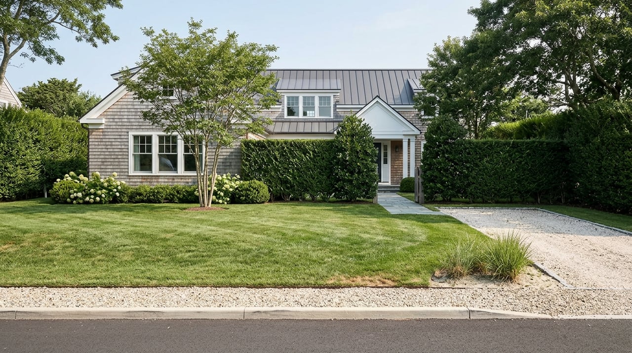
Sagaponack is a low‑density village framed by active farmland, conserved open space, and ocean shoreline. That physical pattern shapes a market where large lots, permanent scenic buffers, and limited subdivision potential are the norm for many areas. You will see this structure right on the official Village zoning map and the village’s easements map, which show how districts and recorded conservation areas lock in spaciousness. This is the foundation for Sagaponack’s estate feel and long‑term privacy potential.
Sagaponack’s three primary residential districts set large minimums: R‑40 at 40,000 square feet, R‑80 at 80,000 square feet, and R‑120 at 120,000 square feet. Standard yards and frontage increase with district size, and building height is capped at 32 feet for typical pitched roofs or 25 feet for low‑pitch designs. These baseline controls are central to how close homes can sit and how tall they can be. You can confirm the dimensional standards in the Village’s Table of Dimensional Regulations.
Beyond setbacks, the Village limits how much of a parcel can be covered by buildings and hardscape. Coverage allowances scale with lot size, and specific caps apply in rear yards where pools, terraces, garages, and pool houses typically go. Public discussions have considered tighter rules for accessory coverage and larger setbacks for tennis courts and big play surfaces, which can matter if you plan an extensive program. See the dimensional table for the rules that interact with house size and layout decisions in Sagaponack’s coverage standards.
Sagaponack uses a gross floor area calculation to convert lot size into maximum house size. The formula is tiered by lot‑size bands, with an absolute cap for the dwelling and a combined cap when accessory roofed structures are included. On larger parcels, the marginal GFA gain per added square foot of land shrinks, so bigger lots do not scale house size one‑for‑one. For the exact formulas and caps, review the code section on GFA and references like the Chapter 5 summary for Sagaponack.
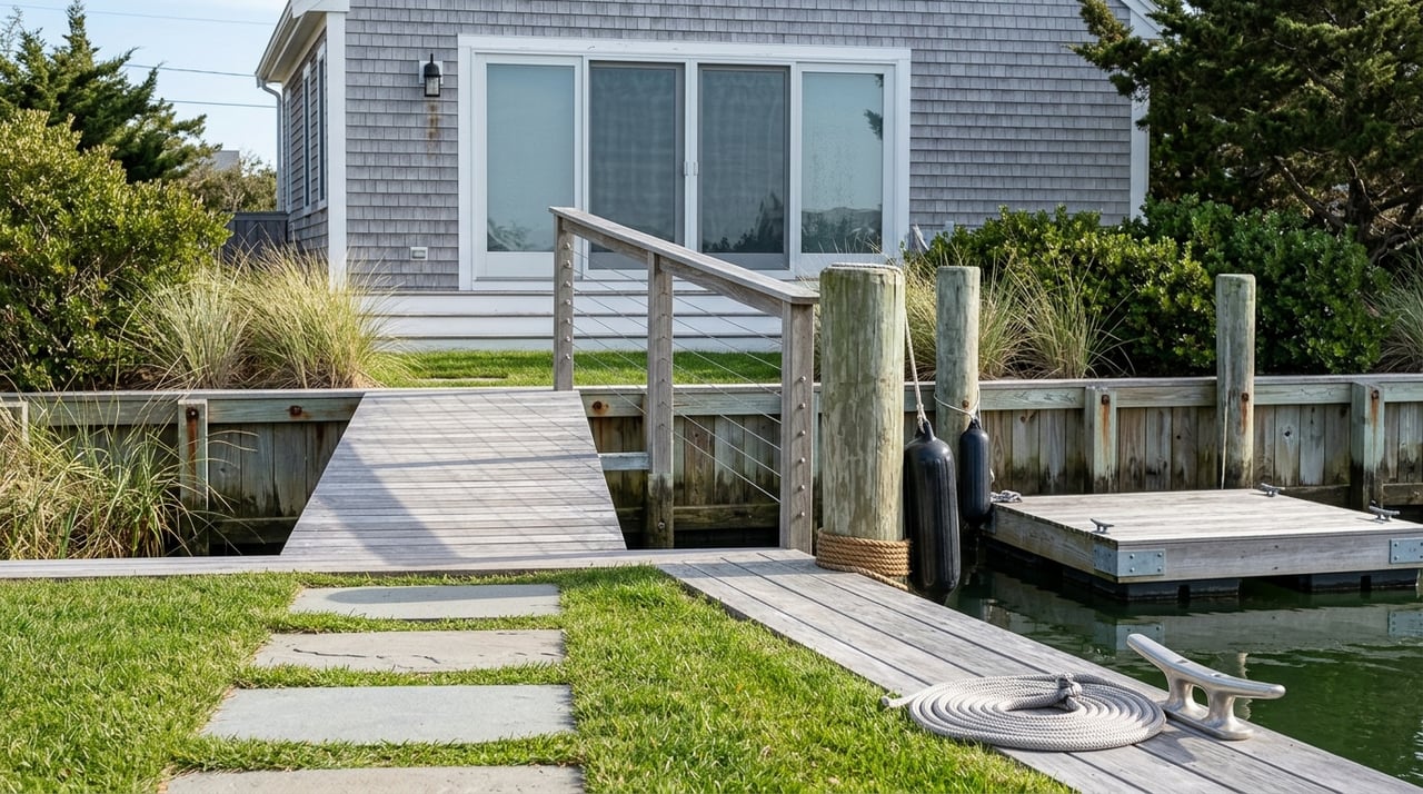
Oceanfront and low‑lying parcels face added controls under the Village’s Coastal Erosion Hazard Area chapter and flood‑damage prevention rules. These can impose dune‑crest setbacks, vegetation protections, and elevation requirements for the first finished floor, which may influence perceived massing from the road or neighbors. Always cross‑check any waterfront or near‑shore plan against the coastal and flood code early. You can read the coastal provisions in the Village code’s Coastal Erosion Hazard chapter.
If a property lies near wetlands, expect larger buffers and deeper lot dimensions for buildable envelopes. The Planning Board may require 100 to 150 feet of separation for structures and wastewater systems, which meaningfully compresses where you can place a house or pool. Before you count on a certain footprint, confirm whether wetlands exist and what buffers apply. Review subdivision and site‑plan standards in the Village code for wetlands and buffers.
Many Sagaponack parcels carry deeded conservation, scenic, or agricultural easements held by the Town or nonprofits. These can include non‑disturbance buffers, tree preservation, and limits on clearing or converting fields to lawns. An easement on a neighboring farm can create permanent openness that enhances your views and privacy, while an easement on your own parcel can reduce subdivision or build‑out potential. See where they are mapped in the village Easements map, and note that enforcement is real, as regional cases have shown in coverage such as this easement enforcement story.
Parts of the village sit within a certified New York State Agricultural District, which provides right‑to‑farm protections and can shape local permitting expectations. Ag District status does not prohibit non‑ag development by itself, yet it does support continued farming activities that keep fields open over time. If you value lasting views, proximity to active farmland can be a benefit. You can confirm coverage on the official Agricultural District map.
Most of the East End is unsewered, so your project will rely on an on‑site wastewater system. Suffolk County is promoting Innovative/Alternative nitrogen‑reducing systems for new builds in sensitive watersheds, and grants may help offset costs. The system size and required reserve area can limit how many bedrooms, accessory apartments, or additional kitchens you can pursue. Learn how I/A systems fit into local policy through the Peconic Estuary Partnership’s overview of nitrogen‑reducing wastewater systems.
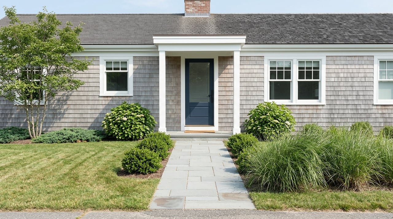
Your permits will pass through the Village Building Department, and many projects receive Architectural and Historic Review Board input on design and materials. Variances run through the Zoning Board of Appeals, and coastal actions can involve a coastal erosion review process. Waterfront or wetlands work can add time, so build that into your plan from day one. For contacts and procedures, start at the Village Building Department page.
Buying in Sagaponack rewards careful planning. The same rules that protect the village’s open‑space character can either elevate your long‑term privacy and views or limit your build if they are not addressed early. With clear due diligence and the right design approach, you can secure the property and program that match your vision.
Ready to evaluate a specific parcel or build plan in Sagaponack? Schedule a private consultation with Monica Reiner to map your options and move forward with confidence.
Stay up to date on the latest real estate trends.

Boca Raton & Delray Beach
From Boca Raton to Delray Beach and Highland Beach—Explore Luxury Homes, Market Trends, and Smart Buying Opportunities

When you choose Monica Reiner as your real estate broker, you can be confident that you have a seasoned professional on your side, dedicated to achieving your goals and surpassing your expectations. Contact Monica today to embark on your real estate journey.