Westhampton Flood Zones and Insurance for Buyers
May 21, 2026
May 21, 2026
Buying in Westhampton can feel straightforward until flood maps and insurance quotes enter the picture. If you are comparing a village home, a bayfront property, or a house on or near Dune Road, the flood profile can change quickly from one address to the next. The good news is that with the right due diligence, you can understand the risk, budget more accurately, and avoid surprises before closing. Let’s dive in.
Westhampton Beach sits on Long Island’s South Shore, and local planning documents make it clear that flooding and erosion are part of the area’s real estate landscape. The village’s waterfront and stormwater programs address these issues directly, which tells you this is a normal and important part of buying near the coast.
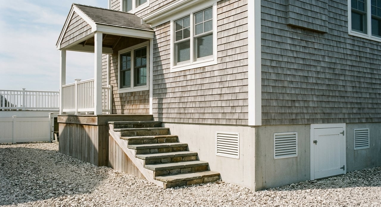
That does not mean every property carries the same exposure. Oceanfront parcels, bayfront homes, and inland village properties can have very different flood profiles. Local mitigation records even identify specific Dune Road properties, including 473 Dune Rd and 379 Dune Rd, within mapped flood and coastal erosion hazard areas.
For buyers, the key takeaway is simple: you cannot judge flood risk by proximity to the beach alone. In Westhampton, the exact parcel matters.
FEMA’s Flood Map Service Center is the official source for flood maps and flood zone information. These maps help lenders decide whether flood insurance is required, and they also help communities enforce floodplain rules.
The main zones you are likely to hear about in Westhampton are AE and VE. FEMA defines the Special Flood Hazard Area as the area with a 1% annual chance of flooding, and both AE and VE fall within that high-risk category.
AE zones are high-risk flood areas where base flood elevations are shown. These areas carry significant flood exposure, but generally less wave action than VE zones.
VE zones are coastal high-hazard areas with added storm-wave risk. In a shoreline market like Westhampton, that distinction matters because wave action can affect both construction standards and insurance cost.
Moderate-risk areas are often shown as shaded X or B. Lower-risk areas are typically unshaded X or C.
Lower risk does not mean no risk. FEMA reports that nearly one-third of NFIP claims from 2014 to 2024 came from outside high-risk zones, which is one reason some buyers still choose flood coverage even when it is not required.
One of the biggest misconceptions buyers have is that flood insurance is priced only by flood zone. In reality, FEMA’s Risk Rating 2.0 pricing is more specific to the individual property.
According to FEMA, pricing may consider factors such as:
That means two homes in the same general area can have very different premiums. It also means you should never assume the insurance cost based on the listing location or neighborhood alone.
A standard homeowners policy generally does not cover flood damage. If a property is in a high-risk A or V zone and you are using a government-backed mortgage, flood insurance is generally required under NFIP rules.
Even when it is not required, it may still be worth pricing out. FEMA says the average payment for all flood claims from 2020 to 2024 was $82,614, which shows how costly even one event can be.
For coastal buyers in Westhampton, the elevation certificate is one of the most important due diligence documents. FEMA says most homeowners do not need one just to purchase flood insurance, but homes in high-risk A or V zones may need it to verify compliance with local flood-safety standards.
The certificate records the first-floor height and other building elevations. That information can help insurers price the property more accurately, and in some cases it may help lower the premium if the home sits higher above expected floodwater.
FEMA also notes that under Risk Rating 2.0, an elevation certificate is no longer required to buy coverage, but it can still improve pricing. In FEMA’s own example materials, raising a building from 0 feet to 5 feet above ground can reduce the premium by about 34%, all else equal.
There is no fixed insurance chart for oceanfront, bayfront, and inland village homes. FEMA prices flood insurance by property-specific risk, not by lifestyle label.
Still, the local pattern is fairly clear. Oceanfront properties, especially along Dune Road, are often more expensive to insure because they are more likely to fall in VE or other high-risk coastal designations. Bayfront homes can also carry significant cost if they sit in AE or VE zones, while inland village properties may be less expensive if they are in X zones or outside the Special Flood Hazard Area.
County hazard data support the idea that shoreline exposure matters, while also showing why parcel-by-parcel analysis is essential. In Suffolk County’s flood assessment, Westhampton Beach had 35.0% of buildings in the 1% annual chance flood boundary and 2.4% in the V-zone.
Nearby areas show how much conditions can vary. Quogue had 39.5% in the A-zone and 4.2% in the V-zone, Southampton Village had 4.9% in the A-zone and 1.3% in the V-zone, and West Hampton Dunes had 69.1% in the A-zone and 29.8% in the V-zone.
That county analysis is directional, not parcel-specific, because it is based on building centroids and excludes bays and oceans. It is useful context, but it should never replace a review of the exact address.
In Southampton Town, a Determination of Potential for Flooding is required for all new residential dwellings and commercial buildings before a building permit is issued. The town also requires an elevation certificate at final sign-off for a new home in a flood zone.
In the Village of Westhampton Beach, any transfer of title requires an updated certificate of occupancy. That is an important local transaction detail, especially if you are buying an older home, a renovated property, or a house with unpermitted changes.
These rules do not replace your own inspections or insurance review, but they do shape the paperwork and timeline around a purchase.
Flood maps do change, and that can affect both insurance requirements and cost. FEMA says that if a property is newly mapped into a higher-risk flood area, policyholders may qualify for a Newly Mapped discount if they buy or renew within 12 months of the map change.
FEMA also notes that annual increases are generally capped at 18% until the policy reaches its full-risk rate. That does not remove the long-term cost issue, but it may help soften the transition if a map update affects your property.
If you believe a parcel is shown incorrectly, FEMA allows map corrections through the Letter of Map Change process. That can be worth exploring when the mapping does not match the actual site conditions.
If you are serious about buying in Westhampton, flood due diligence should happen early, not after everything else is done. Waiting until the end of the deal can leave you negotiating around an unexpected insurance bill.
A practical workflow looks like this:
This process is especially useful when you are deciding between oceanfront, bayfront, and village options. A lower purchase price does not always mean a lower carrying cost.
Westhampton’s flood story is also part of a larger shoreline-management picture. The U.S. Army Corps of Engineers continues work on the Fire Island to Montauk Point coastal storm risk management project, and a 2024 contract announcement specifically referenced work in the Westhampton and Cupsogue sections.
That ongoing work underscores a basic truth of this market: coastal conditions are active, not static. Erosion, storm risk, and shoreline management remain part of long-term ownership here, especially for buyers considering waterfront property.
Flood zones and flood insurance should not automatically scare you away from Westhampton. They should, however, change how you evaluate a property.
The right question is not “Is this home near water?” The better question is “What does this exact address mean for insurance, compliance, and long-term ownership cost?”
With careful map review, the right documents, and an early insurance quote, you can make a much more confident decision. That kind of preparation helps you buy with clarity, whether you are focused on a village home, a bayfront retreat, or a Dune Road property. If you want experienced, concierge-level guidance as you compare Westhampton properties, schedule a private consultation with Monica Reiner.
Stay up to date on the latest real estate trends.

When you choose Monica Reiner as your real estate broker, you can be confident that you have a seasoned professional on your side, dedicated to achieving your goals and surpassing your expectations. Contact Monica today to embark on your real estate journey.